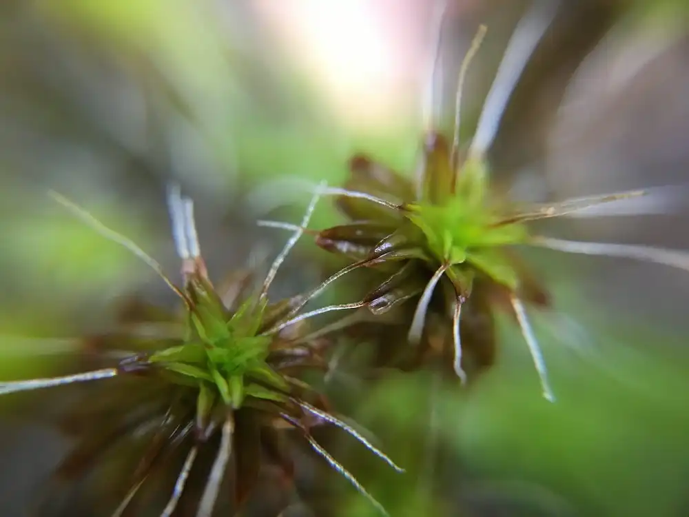
In a groundbreaking study, researchers unravel the evolutionary secrets behind plants' ability to survive harsh drought conditions. Exploring moss resilience mechanisms, akin to crop seed dormancy, sheds light on a 450-million-year-old adaptation. Insights could revolutionize crop resilience amidst climate change,…
Read More