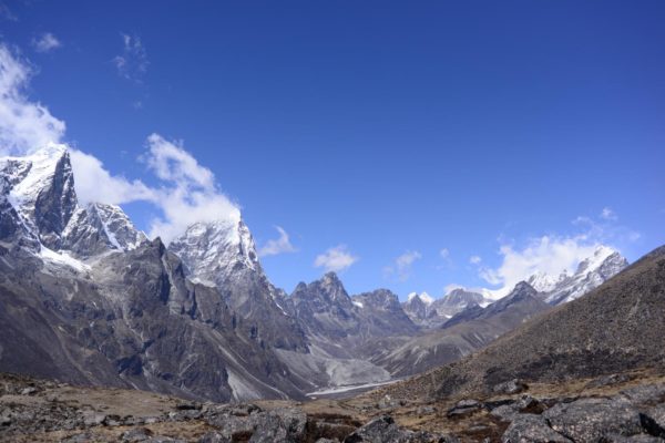
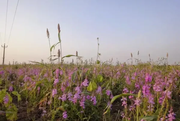
Plant life is expanding in the area around Mount Everest, and across the Himalayan region, new research shows.
Scientists used satellite data to measure the extent of subnival vegetation – plants growing between the treeline and snowline – in this vast area.
Little is known about these remote, hard-to-reach ecosystems, made up of short-stature plants (predominantly grasses and shrubs) and seasonal snow, but the study reveals they cover between 5 and 15 times the area of permanent glaciers and snow.
Using data from 1993 to 2018 from NASA’s Landsat satellites, University of Exeter researchers measured small but significant increases in subnival vegetation cover across four height brackets from 4,150-6,000 metres above sea level.
Results varied at different heights and locations, with the strongest trend in increased vegetation cover in the bracket 5,000-5,500m.
Around Mount Everest, the team found a significant increase in vegetation in all four height brackets. Conditions at the top of this height range have generally been considered to be close to the limit of where plants can grow.
Though the study doesn’t examine the causes of the change, the findings are consistent with modelling that shows a decline in “temperature-limited areas” (where temperatures are too low for plants to grow) across the Himalayan region due to global warming.
Other research has suggested Himalayan ecosystems are highly vulnerable to climate-induced vegetation shifts.
“A lot of research has been done on ice melting in the Himalayan region, including a study that showed how the rate of ice loss doubled between 2000 and 2016,” said Dr Karen Anderson, of the Environment and Sustainability Institute on Exeter’s Penryn Campus in Cornwall.
“It’s important to monitor and understand ice loss in major mountain systems, but subnival ecosystems cover a much larger area than permanent snow and ice and we know very little about them and how they moderate water supply.
“Snow falls and melts here seasonally, and we don’t know what impact changing subnival vegetation will have on this aspect of the water cycle – which is vital because this region (known as ‘Asia’s water towers’) feeds the ten largest rivers in Asia.”
Dr Anderson said “some really detailed fieldwork” and further validation of these findings is now required to understand how plants in this high-altitude zone interact with soil and snow.
Dominic Fawcett, who coded the image processing, said: “These large-scale studies using decades of satellite data are computationally intensive because the file sizes are huge. We can now do this relatively easily on the cloud by using Google Earth Engine, a new and powerful tool freely available to anyone, anywhere.”
The Hindu Kush Himalayan region extends across all or part of eight countries, from Afghanistan in the west to Myanmar in the east. More than 1.4 billion people depend on water from catchments emanating here.
Read the paper: Global Change Biology
Article source: University of Exeter
Image credit: Karen Anderson


